To read about and see more of a particular map, click on the image below.
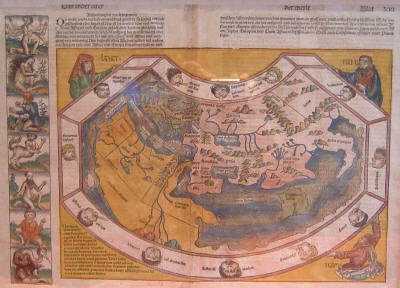
The world before Europeans knew about Columbus' discoveries. Schedel, World Map from Liber Chronicarum (1493)
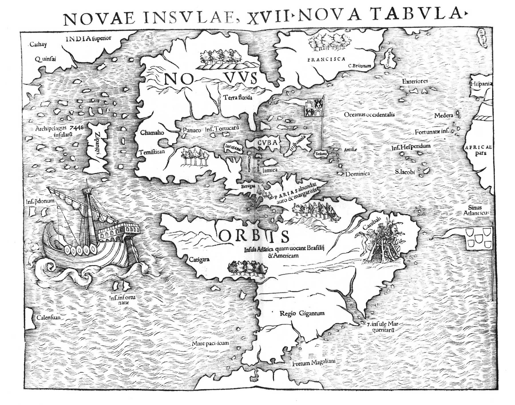
The first printed map devoted to the Americas. Munster, Novae Insvlae, XVII Nova Tabvla (1540)
This work ultimately derives
from a Roman road map drawn on a papyrus scroll about the 4th century A.D. Ortelius, Tabula Itineraria Ex Illustri Peutingerorum
Bibliotheca . . . Marco Velsero . . . 1598 (1624)
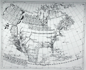
The first map showing California as an island.
Briggs, The North part of America Conteyning ... (1625)
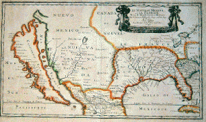
A map showing the claims of major European countries to what is now the US. Sanson,Le Nouveau Mexique et La Floride ... (1656/1679)
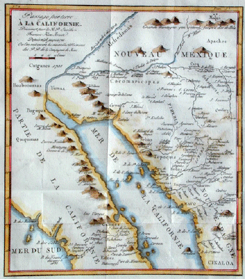
The map disproving that California is an island.
Kino, Passage par terre A la Californie Decouvert ... (1705)
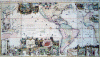
A 1719 encyclopedic map about the Americas for Europeans who could not visit.
Chatelain, Tres Curieuse de la Mer du Sud(1719)
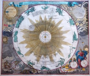
A plate from an 18th century celestial atlas.
Doppelmayr, Atlas Novus Coelestis in quo Mundus Spectabilis….
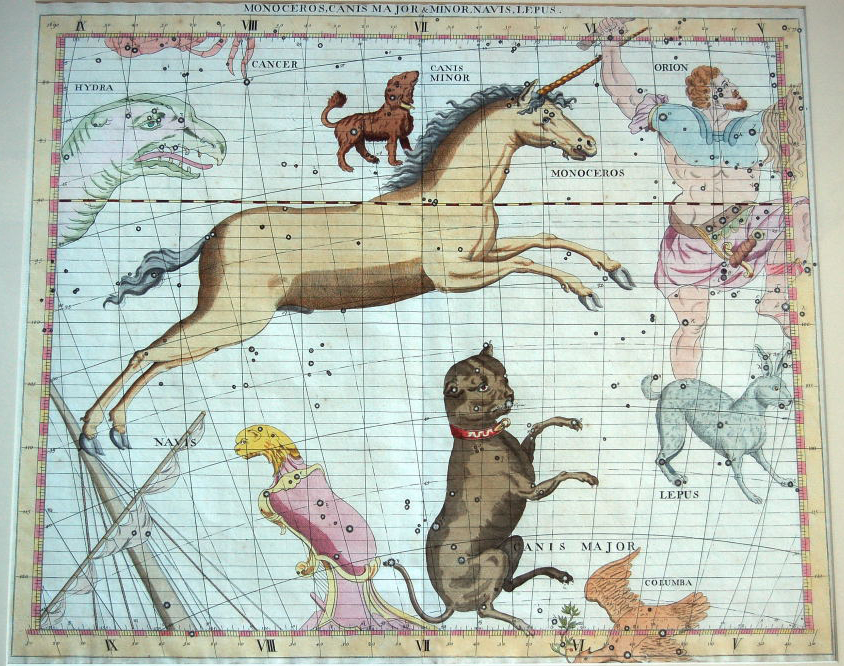
The unicorn, from an 18th century celestial atlas plate.
Flamsteed, Atlas Coelestis (1719)
A map showing the famous California gold rush.
Larkin, Map of the valley of the Sacramento including the Gold Region (1848)
An early printed map of Los Angeles. Ord, Plan De La Ciudad de Los Angeles (1849)
The CALIFORNIA MAP SOCIETY is a not-for-profit California corporation and a 501(c)(3) corporation under federal law. Copyright 2001-2023. To contact webmaster, clickhere.